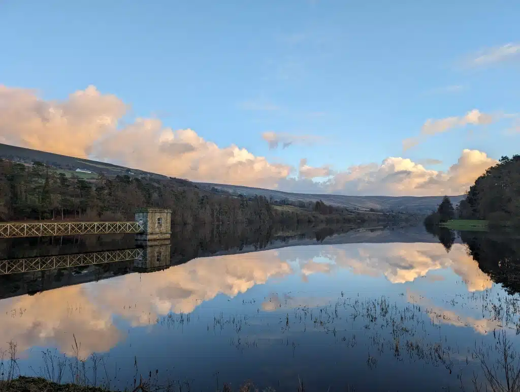
What if we told you there’s a hidden gem nestled in a valley of the Dublin mountains? Just a 12km drive from the city center is a stunning, easy to hike flat loop around Bohernabreena Reservoir. And with summer weather kicking in, it’s practically begging to be walked!
Glenasmole Valley is home to the Bohernabreena reservoir and the Dublin Mountains Way which hugs its shore. Views of the highest peaks in the Dublin Mountains including Seefingan, Corrig and the highest, Kippure can be enjoyed in this area, which shares a border with the Wicklow National Park. The peaks of these nearby mountains contain archaeological sites stretching back up to 5,000 years and afford spectacular views of the city and Dublin Bay.

The Trail
Known as the Upper Reservoir Loop, the trail is near Ballinascorney, County Dublin. Generally considered an easy walk, the loop takes 60-90 minutes and is just 9km. It is signposted with orange way-markers which help discern it from the yellow markers of the Dublin Mountains Way which also passes along part of the route.
This is a very popular area for birding, fishing, and running, so you’ll likely encounter other people while exploring. If you’re looking to bring your furry friend, dogs are welcome, but must be on a leash.
The Upper Reservoir Loop runs along the road parallel to the River Dodder. It passes the lower reservoir and then continues along the same road to the upper lake. The trail continues around the top of the reservoir along the gorgeous wooded shoreline, then it’s just a matter of following the loop back to the carpark.
Merging Rivers
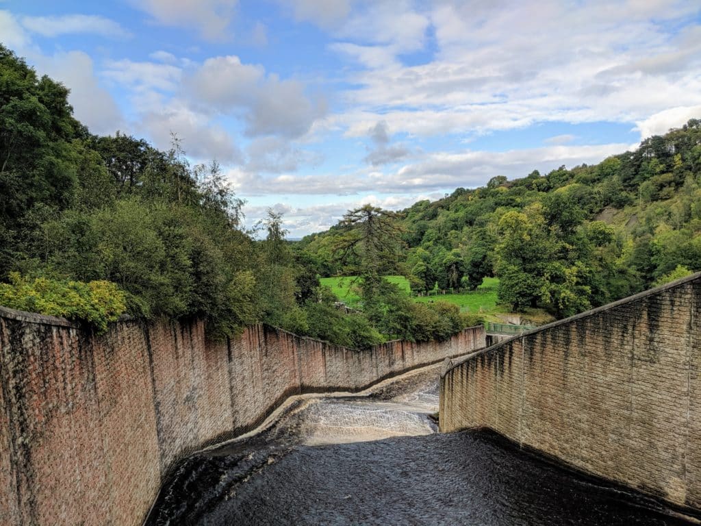
Points of interest along the hike include the channel carrying water from the upper to the lower reservoir. On the eastern shore are the remains of St Ann’s Churchyard which was in use until the mid-16th century.

Both the River Liffey and the River Dodder rise in the Dublin-Wicklow Mountains nearby and the Dodder flows through the reservoir. Walkers can also enjoy riverside walks along the Dodder from the Dublin Mountains out of the reservoir and back towards the urban areas of Tallaght, Templeogue and Rathfarnham through the nearby parklands at Kiltipper and Dodder Valley Park.
Accessibility
In terms of accessibility, the route begins and ends on a paved road, so a day out with the pram is possible if you’re willing to get your wheels a bit dirty, as later parts of the trail are made up of gravel and dirt. There are a few small inclines on the trail, but they are more than possible to conquer!
Parking
Parking can be tricky, as there is a small carpark with only 15 spaces just by the entrance of the reservoir, so people looking to snag a spot closest to the entrance are advised to get there early, or visit at off-peak times. Avoid parking along the road here, as it’s quite narrow and you’ll likely be towed!
There’s a new car park (see it here on maps) that costs €5 to park, but it’s secure, there’s toilets and they have a little spot selling coffee at the weekends, too. It’s also a short distance from an entry point for the loop walk here. This is a good option if you find the first carpark full.


